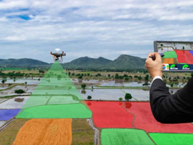
Solar Panel Annotation
For our Solar Panel Annotation services, we utilized Polygon Annotation to precisely identify & label solar panels in aerial images & drone footage videos. This manual annotation process involved outlining & labeling the solar panels in the footage & generating annotations that served multiple purposes including object detection, monitoring & analysis of solar panel installations.
Urban Houses Annotation
For our Urban Houses Annotation services, our team made use of bounding box annotation on urban houses using satellite images & visual GPS data, focusing on outdoor residential images. This process involved outlining & labeling bounding boxes around the houses, facilitating various applications such as urban planning, real estate analysis & infrastructure development.
Disaster Management Annotation
For our Disaster Management Annotation services, our team annotated drone images taken in disaster-affected areas. We outlined & labeled key elements for efficient disaster response & recovery using bounding boxes. Our annotation also included classes such as Debris, Damaged infrastructure, Evacuees, etc. Our services help resources like fire responders to understand the level of damage & organise ways to manage the disaster.
Site Monitoring Annotation
For Site Monitoring Annotation services, we use bounding box annotations to track, label & manage equipment, safety hazards & project progress at construction sites. Our annotation encompasses classes like Cranes, Excavators, Bulldozers, etc. Almost all such videos & images are captured by drones.
Traffic Flow Optimization
In Traffic Flow Optimisation services, we annotate using key point & bounding box annotation on drone & aerial images to identify & label traffic signs, signals, lane markings & congested areas. These annotations support traffic flow analysis, road planning & intelligent transportation systems, improving overall road network efficiency & safety.
Military Surveillance
For Milirary Surveillance annotation on drone images involves marking objects of interest such as vehicles, aircrafts & vessels. Actions like troop movement, suspicious behaviour & vehicle convoys are also included. This annotated data currently assists in training the model to automatically detect these classes.