Introduction
Annotation of 3D point cloud and LiDAR data is essential across diverse industries, encompassing autonomous vehicles, robotics, urban planning, virtual reality, and more. By extracting valuable insights from 3D spatial data, it empowers object detection, scene understanding, environment mapping, and propels the development of intelligent systems and applications. This annotation process serves as a cornerstone in driving innovation, enhancing safety, optimizing urban environments, and revolutionizing immersive experiences through the accurate interpretation and utilization of rich 3D data.
Types of Annotations
Object
Detection
Our annotators accurately detect and precisely label objects such as vehicles, pedestrians, and buildings. This enables algorithms to recognize and detect objects, resulting in improved safety and the ability to perform intelligent actions in autonomous vehicles, robotics, and other applications.
Semantic
Segmentation
Semantic segmentation annotations involve assigning meaningful labels to each pixel, enabling an AI model to identify objects and understand image context. By manually labeling pixels, it enhances object recognition and contextual understanding, benefiting applications like image analysis, computer vision, and scene understanding.
3D Object
Tracking
Our annotation services facilitate the tracking, localization, and tracing of object trajectories in dynamic scenes. By tracking objects across multiple frames, we provide valuable data for analyzing object motion, predicting trajectories, and modeling behavior, benefiting applications like autonomous systems and surveillance.
Environmental
Mapping
We offer comprehensive annotation services for environmental mapping. Our annotators annotate various environmental features such as roads, buildings, trees, and terrain, enabling accurate and detailed maps for navigation systems, urban planning, and virtual reality simulations.
Sensor
Fusion
Sensor fusion combines data from LiDAR sensors and cameras to enhance object detection, tracking, and scene understanding. It creates a detailed representation of the environment, enabling robust perception in autonomous driving, robotics, and augmented reality applications.
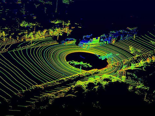
Precision
Agriculture
Lorem Ipsum is simply dummy text of the printing and typesetting industry. Lorem Ipsum has been the industry's standard dummy text ever since the 1500s, when an unknown printer took a galley of type and scrambled it to make a type specimen book. It has survived not only five centuries, but also the leap into electronic typesetting, remaining essentially unchanged. It was popularised in the 1960s with the release of Letraset sheets containing Lorem Ipsum passages, and more recently with desktop publishing software like Aldus PageMaker including versions of Lorem Ipsum.
Case Studies
Discover Real-World Results: Request For Our Industry-wide Case Studies
Aerial Imaging and Surveying