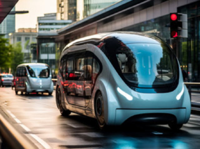
Object Detection
(2D/3D)
Utilizing Bounding Box & Polygon annotations for accurate identification & classification of objects like Vehicles, Pedestrians & Traffic Lights. This help in identifying & localizing various objects in the scene, allowing the autonomous vehicle's perception system to understand its surroundings.
Vehicle
Keypoint
Keypoint annotation on vehicles involves labeling specific points like Headlights, Doors, Tail Lights, Wheels, etc. By annotating key points on vehicles, AI algorithms can precisely locate & track these specific points.
Drivable Region & Road Boundaries Annotation
Using Polyline & Polygon annotation to mark the Lanes, Drivable Region & Boundaries on the images. This annotated data serves various purposes, including training autonomous vehicles for lane detection, path planning & understanding road infrastructure.
License Plate Annotation
Labelling license plate regions in images or video frames & transcribing the text. It facilitates automatic license plate recognition systems, enabling accurate identification & extraction of plate information for vehicle tracking, law enforcement & traffic management purposes.
Vehicle Tracking On Video Annotation
Vehicle tracking annotation in videos involves annotating vehicle positions & trajectories across frames, utilizing bounding boxes or key points. This technique facilitates the analysis of vehicle behaviour, traffic flow & interactions, enhancing understanding & enabling applications like autonomous driving & traffic management.
Full Scene Labelling
Annotation of all the objects, entities & attributes present in the image. This enables the vehicle to detect & track objects, recognize & interpret traffic signs & road markings, understand the road layout & anticipate & react to various scenarios in real time.
Sensor Fusion Annotation
Annotating synchronized data from multiple sensors such as cameras, LiDAR & RADAR. It provides ground truth for developing perception systems by accurately labeling objects based on fused sensor data.